OreFox Spatial Data Management System
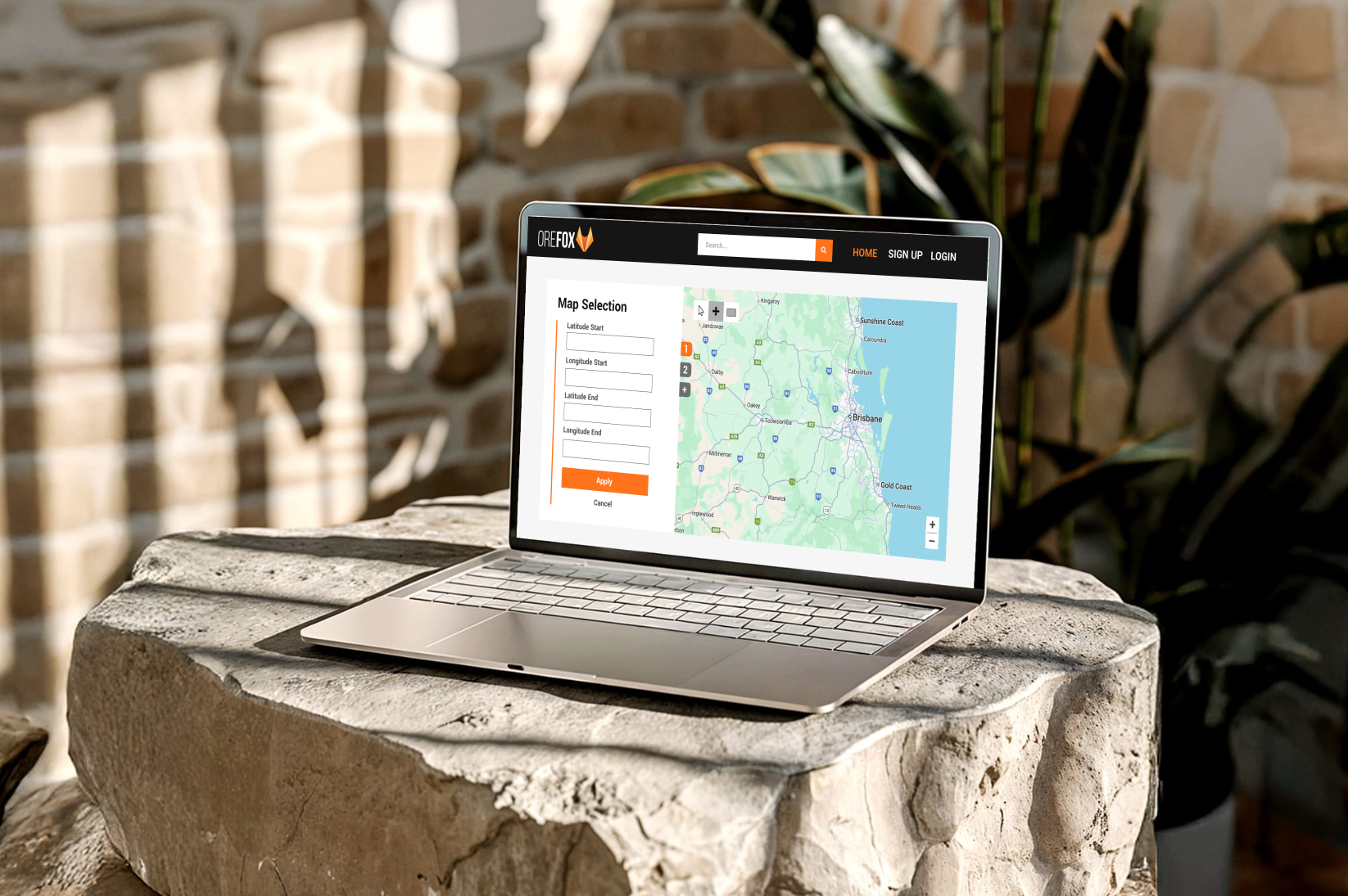
A web platform built for OreFox AI Limited to manage and visualize spatially tagged mining documents. It helps geologists and mining teams search, filter, and understand document metadata using accurate geolocation context.
The system streamlines discovery workflows with an interactive map, advanced search, and a clean dashboard for quick access. Role-based access controls keep data secure while improving collaboration across teams.
Technologies: Django & Python, PostgreSQL + PostGIS, Leaflet.js, HTML/CSS/JS.
My role: UX/UI Designer and Quality Assurance Lead. Making sure the application is intuitive and user-focused.